


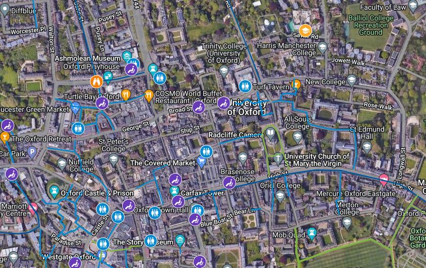

A new free walking map of Oxford has been launched created using information supplied by neighbourhood groups.
Co-ordinated by the Oxford Pedestrians Association (OxPA) and the Coalition for Healthy Streets and Active Travel (CoHSAT), the map shows pleasant walking routes through the city, and just beyond, with playgrounds, benches, and public toilets marked.
It was inspired by the success of the Oxford Online Cycling Map which was launched in June and has already been viewed more than 40,000 times.
The creators are keen to add another layer showing places of local interest, and would like to be contacted by local groups who can contribute.
The Oxford Online Cycling Map can be found at: https://www.cyclox.org/index.php/2023/05/28/oxford-online-cycle-map/
The Oxford Online Walking Map can be found at: https://www.oxpa.org.uk/map/
People can suggest additions or changes to the walking map via oxfordwalkingmap@gmail.com
READ MORE: Vegetable oil-powered trains launched by Chiltern Railways
Green party city councillor Emily Kerr, who helped design the map, said: “The map was inspired by a conversation I had with my friend Dave.

"Dave has walked and mapped every single route in Oxford, as a lockdown project and to help him get fit.
"We talked to other walkers and realised that while there were lots of maps recommending specific walks, we thought it would be useful to put all the information together so people who commute, or those who walk for recreation and fitness, could experiment with new routes.
"A number of people have already contributed and we’ve launched the map in time for the school holidays.
"But we’re also keen to add detail about local places so would love to hear from local history groups.”
Sushila Dhall, chair of the Oxford Pedestrians Association, added: “It’s a great tool for planning a commute, a journey to the shops, or visiting a friend.
"We’ve aimed to make sure key destinations have recommended routes between them, and where there are a number of options we’ve just chosen the best one, so the map doesn’t get too crowded.
“We’ve also included a lot of green routes - these are recreational walks in natural surroundings.
READ MORE: ANPR cameras planned for major city roundabout
"We’ve tried to make the map more accessible for people who are wheeling, or use other mobility support, by marking when routes are paved and unpaved and including the location of benches.”
Oxford Pedestrians Association (OxPA) and the Coalition for Healthy Streets and Active Travel (CoHSAT) are calling for road safety improvements to enable more walking and wheeling, including more School Streets, a ban on pavement parking, pedestrian-priority crossings, and 20mph speed limits on all roads in Oxford.


Comments: Our rules
We want our comments to be a lively and valuable part of our community - a place where readers can debate and engage with the most important local issues. The ability to comment on our stories is a privilege, not a right, however, and that privilege may be withdrawn if it is abused or misused.
Please report any comments that break our rules.
Read the rules hereLast Updated:
Report this comment Cancel