

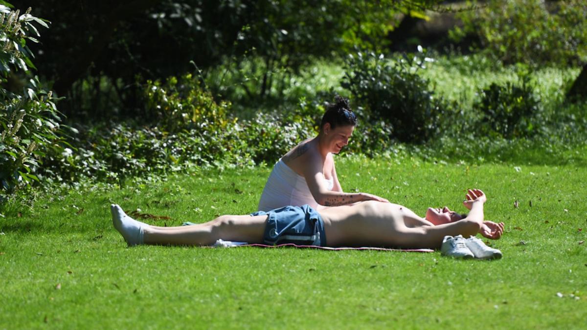
More hot weather and soaring temperatures are expected to hit Oxfordshire this week.
After a weekend of record temperatures and thunderstorms, the Met Office has forecast that temperatures are expected to remain in the high 20s throughout this week.
Today, temperatures will reach a maximum of 25C at 3pm and is expected to remain around 21C at 9pm.
Following on from wet weather hitting Oxfordshire over the weekend, a yellow weather warning remains in place, meaning that torrential downpours are expected at around 5pm.
What to know what the weather has on offer for the start of the new week ❓
— Met Office (@metoffice) June 11, 2023
We have Monday's 4cast ready to go pic.twitter.com/x43butCNU1
The yellow weather warning is also expected to remain in place on Tuesday.
Tomorrow, the maximum temperature is expected to be 28C and on Wednesday more sunshine will follow with a maximum temperature of 26C expected.
Thunderstorm city in Barton, Oxford pic.twitter.com/bJJLjfs9lV
— Tom Seaward (@t_seaward) June 11, 2023
The warm weather will carry on into the weekend, with a maximum temperature of 25C expected on Thursday, Friday, Saturday and Sunday.
The pollen count will also be very high throughout the week and there will be little wind, with gusts reaching a maximum of 9mph today.

Yesterday, severe downpours led to flooding at Didcot Parkway and buses were unable to serve the stop.
Lightning strikes were also recorded over Faringdon and West Oxfordshire.
Temperatures across the week will be trending slightly downwards from the weekend but the UV rays will remain very high.


Comments: Our rules
We want our comments to be a lively and valuable part of our community - a place where readers can debate and engage with the most important local issues. The ability to comment on our stories is a privilege, not a right, however, and that privilege may be withdrawn if it is abused or misused.
Please report any comments that break our rules.
Read the rules here