


The Oxford Canal starts at Hythe Bridge, just a few minutes from the city centre and railway station.
Built over 200 years ago, dug by hand, it flows north out of the city, through Banbury, and all the way to Coventry.
The canal is is 78 miles long and is now managed by the Canal & River Trust.
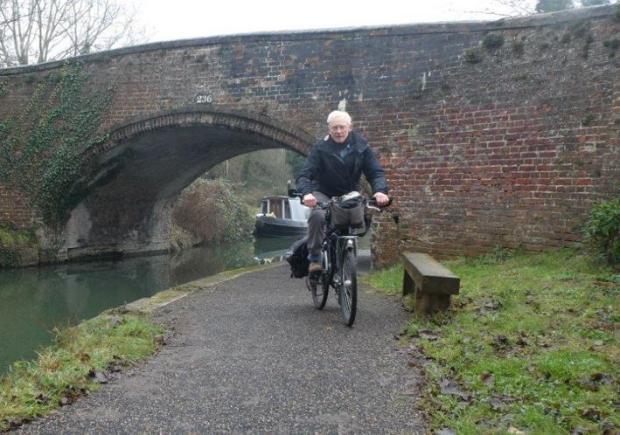
For some people in the city, including ramblers and cyclists, walks along the canal are popular, but others may not be aware of the different routes which are available and open to the public.
Read again: Twitter account of MP Layla Moran has been hacked
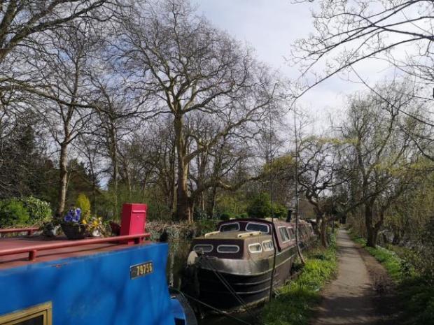
Oxford City Council said: “A level path runs all the way throughout the city, getting a little rougher from Wolvercote.

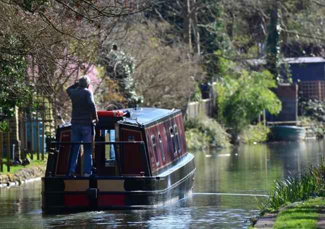
“It is a peaceful place to walk alongside the water and enjoy nature, watch the canal boats and see the city from a different perspective.
“It is easily accessed from the city centre, Summertown, Jericho or Wolvercote.
“The path is narrow and while it has become a popular cycling route, it is important to remember to share the space, slow down and give way to pedestrians, use lights and your bell to warn people – particularly when approaching low bridges where visibility is poor.
Walkers are also advised to remember that boats are people’s homes, so they should be ‘respectful’ says the council.
Read more: Teen attacked by gang in alley
Popular places to visit on the Oxford Canal include:
Isis Lock: Built in 1797, it marks the point where the Oxford Canal joins the River Thames, allowing boats to pass between the two and still in use today.

The Trap Grounds Local Wildlife Site: Located alongside Frenchay Road, the site was saved from development and is now a flourishing local wetland reserve, with a level boardwalk exploring the site. There is a small population of protected water voles nearby. Visit the Trap Grounds website.
Wolvercote: The canal towpath links to Wolvercote village and a circular route back along the Thames Path can be done. There is a set of steep steps up from the canal towpath to the road level into Wolvercote. It is possible to carry a bicycle up these steps, but be aware of the challenge.
Duke’s Cut: Three miles (5km) out of the city along the canal, this channel was dug to connect the canal to the River Thames. You can still see the brick troughs where the horses which pulled the boats were fed and watered.
Read more: Neighbours alarmed by Greater Leys attack
Built by hand over 200 years ago, the Oxford Canal was once one of the most important industrial waterways in the country, a vital connection for trade.
The Oxford Canal Heritage Trail is a good way for residents and visitors to get some exercise while also learning more about the history and places of interest along the Oxford Canal towpath. I
It follows a route along the towpath from Hythe Bridge Street in the city centre to Duke’s Lock on the edge of the city. The three-mile trail is a good way of getting exercise.
Signposts carry QR codes, which you can scan to listen to an audio-guide.
Follow us on Facebook, Twitter, Instagram and Tik Tok
Got a story for us? Send us your news and pictures here


Comments: Our rules
We want our comments to be a lively and valuable part of our community - a place where readers can debate and engage with the most important local issues. The ability to comment on our stories is a privilege, not a right, however, and that privilege may be withdrawn if it is abused or misused.
Please report any comments that break our rules.
Read the rules hereLast Updated:
Report this comment Cancel