
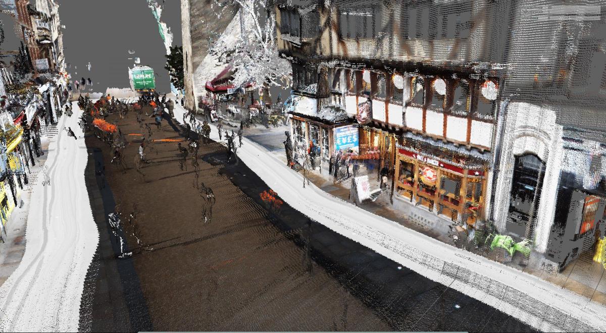
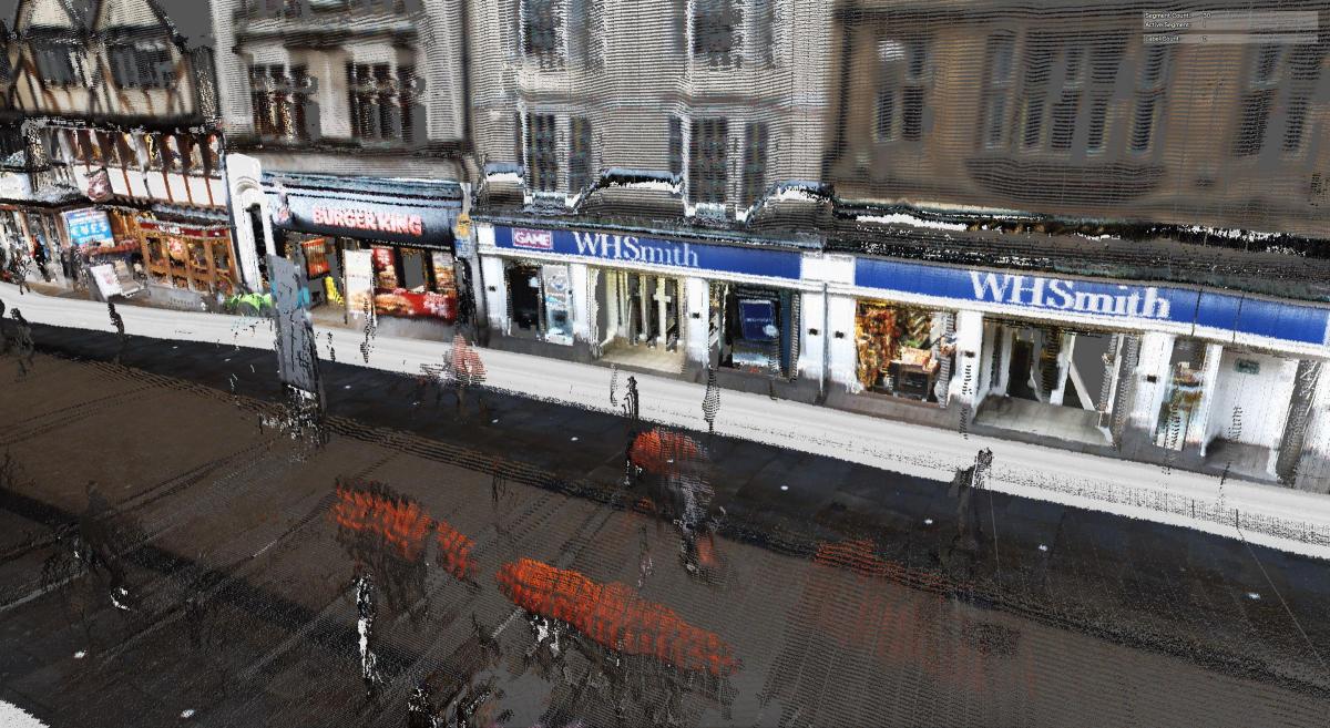
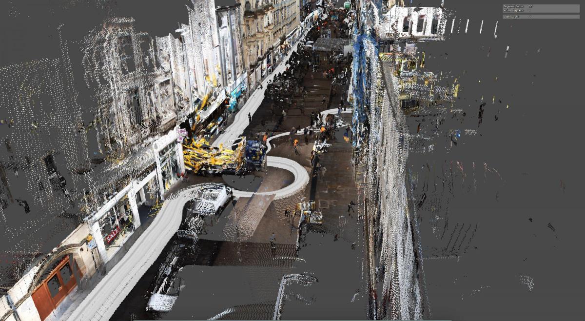
A 3D map of Oxford is being created to prepare for the arrival of driverless vehicles - with help coming from an unlikely source.
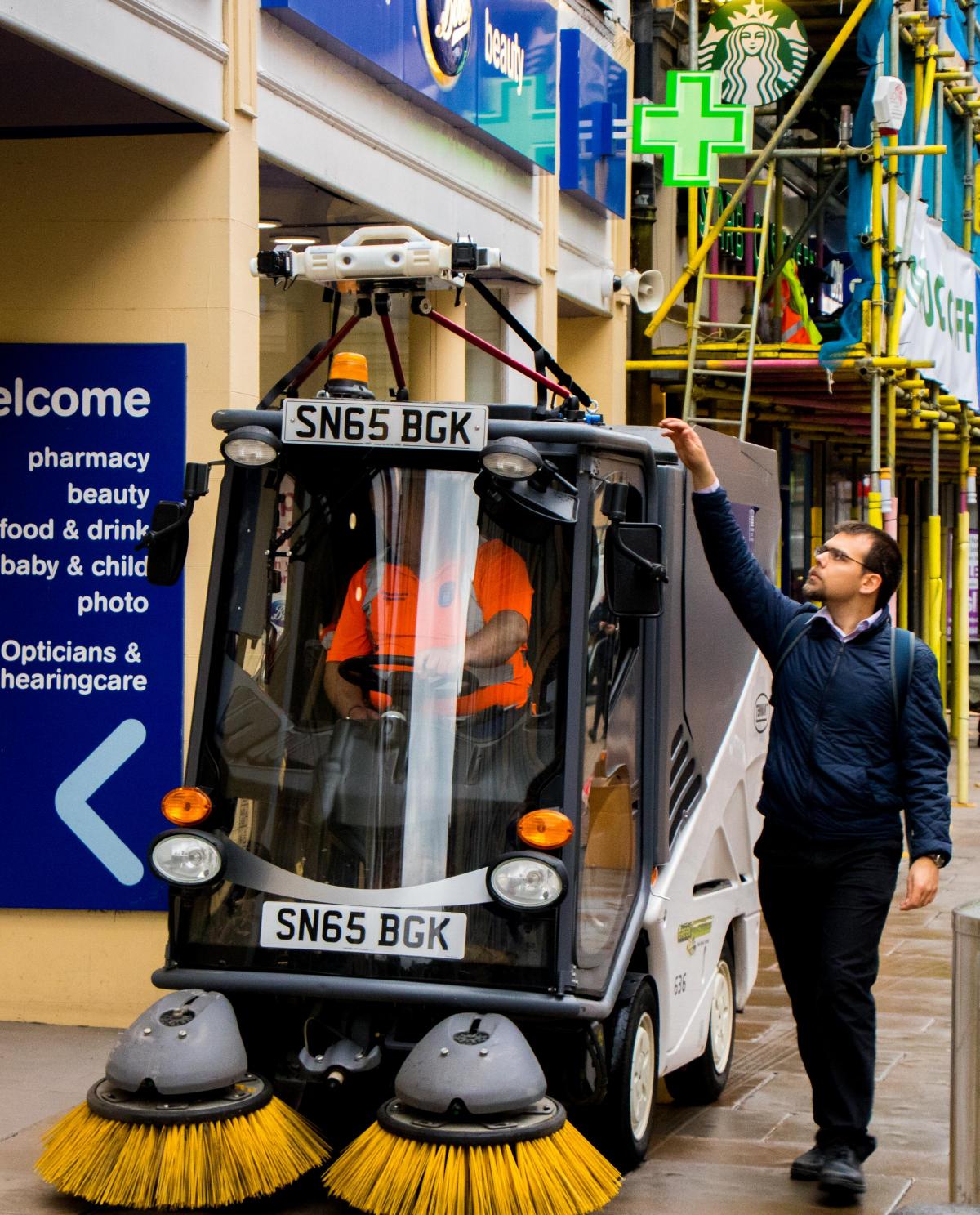
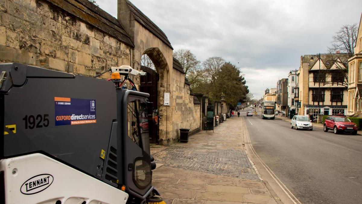
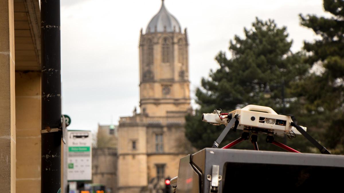
The map is being drawn by special cameras mounted on street cleaning vehicles and rubbish trucks, which record their surroundings as they drive around.
It is part of a project being jointly run by Oxford University in partnership with Oxford City Council.
As well as mapping roads and public spaces ahead of driverless car trials, they said the technology could also help with other issues such as road and pavement damage, broken streetlights and signs, as well as litter and fly-tipping.
The sensors can also monitor air quality, footfall in the city centre, parked vehicles and heat loss from buildings.
Paul Newman, professor of information engineering at the university and founder of driverless technology firm Oxbotica, said: "We are really excited to be working in our home city with the city council.
"This trial will help us with our own research for autonomous vehicles and will help the council and other partners gather data that can improve the management and maintenance of the city."
It comes after Prof Newman's company revealed it wanted to begin trials of driverless vehicles – controlled by its groundbreaking Selenium software – in Oxford before the end of this year.
The system uses a combination of cameras, lasers and GPS technology to navigate spaces, tracking pedestrians, cars and other obstacles.
It is currently being trialled in Greenwich, London. But, closer to home, it is also part of the Smart Oxford initiative, which aims to link up companies working on technologies that could improve city life with local authorities.
Sebastian Johnson, vice chairman of Smart Oxford and project manager at Oxford City Council, said: "Working with the Oxford Robotics Institute we are exploring how the city council’s fleet of street cleaners and refuse collection vehicles can be fitted with sensors to map the city.
"At the same time we are looking to gather information and data that can help us improve the way we run the city.".
Data from the trials being undertaken would be made freely available so that other technology developers could learn from it as well, Mr Johnson added.
He said: "Oxford is the home to world-leading mobile autonomy and robotics research and development, and the city council and our wider partners on the Smart Oxford board are keen to support innovation and research to benefit those living in the city."
The city council said that if the trial was deemed a success, it would consider adding the sensors to its entire fleet of vehicles.
It said the new information gleaned from the mapping had the potential to 'transform' the way services were run, with many problems that are currently reported individually spotted automatically by the machines.


Comments: Our rules
We want our comments to be a lively and valuable part of our community - a place where readers can debate and engage with the most important local issues. The ability to comment on our stories is a privilege, not a right, however, and that privilege may be withdrawn if it is abused or misused.
Please report any comments that break our rules.
Read the rules hereLast Updated:
Report this comment Cancel