
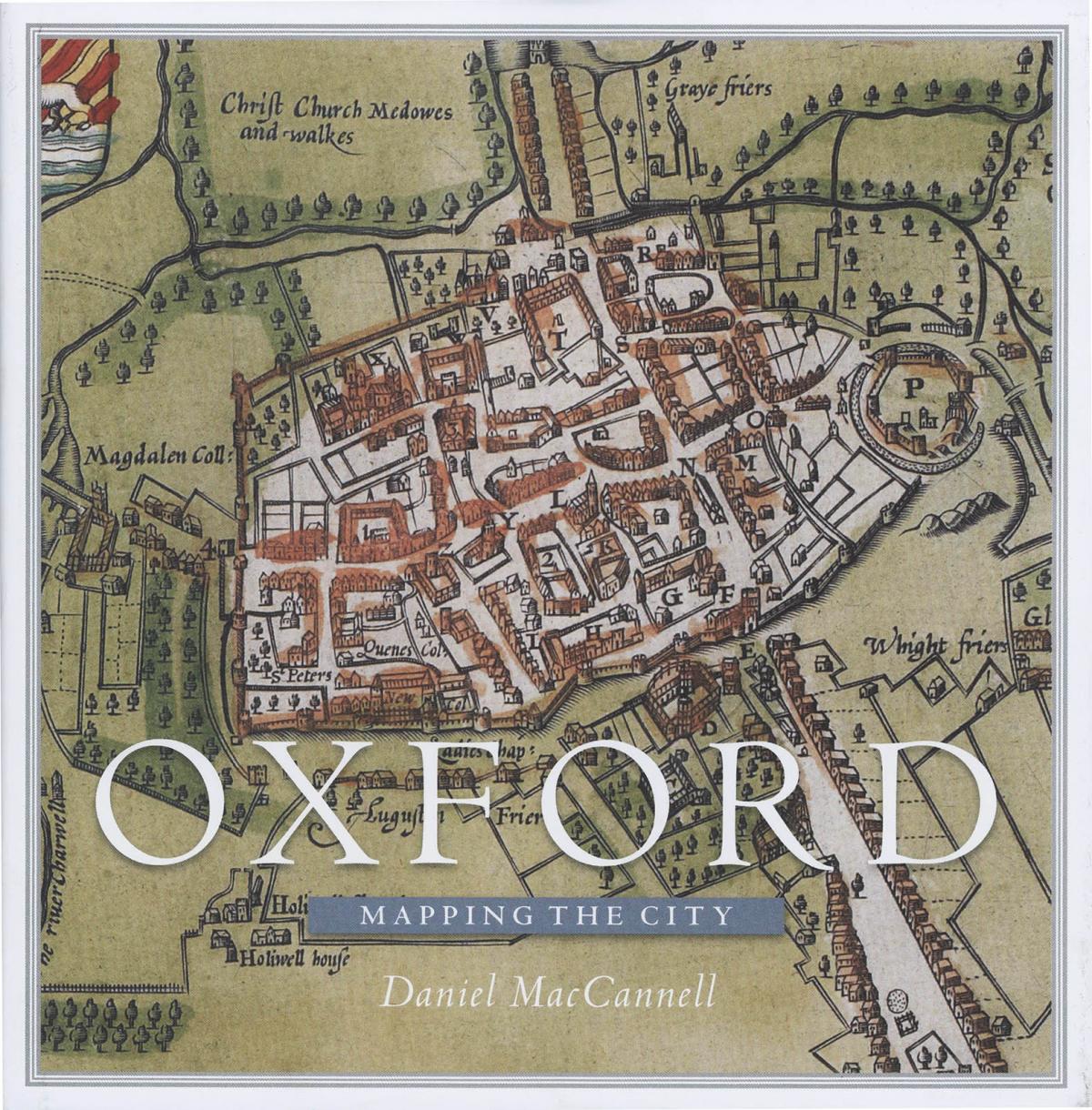
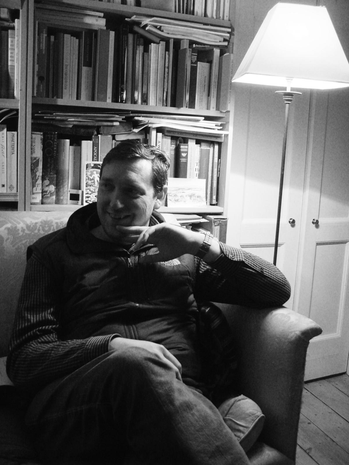

AUTHOR Daniel MacCannell has been mapping the fascinating history of Oxford in a stunning new book.
Over the past four and half centuries, the city has been mapped for many reasons and Mr MacCannell's latest study, entitled Oxford: Mapping the City, takes a close look at a wide variety of maps which have been produced over the years for a wide variety of reasons.
Maps were made as part of schemes to defend Oxford from rampaging Roundheads, raging floodwaters, the ravages of cholera and the insidious grip of the demon drink.
They were also created to plan the new canals and bridges of the 18th century, and the railways, tramways and suburbs of the 19th, to determine and display changes in the city’s political stature under the Reform Acts and even to aid police enforcement against homosexuality.
In his introduction Mr MacCannell said: "Through the 57 maps printed here, some of them for the first time, the city emerges not only as the scene of great triumphs of cartography, architecture, engineering, science, music, literature and drama, but of appalling squalor, overcrowding, terrible fires, drunkenness, disease, mob justice, political violence and religious bigotry.
"Oxford's wealth, defensibility, and tradition as an alternative capital of England dating back to the days of King Harold Harefoot also made it the target of military designs, domestic and foreign.
"This status as a stronghold, rallying point and target began long before the age of detailed city mapping – notably in the 12th century civil war between Queen Maud and King Stephen – and continued right through it, as reflected in the maps we have from the civil war of the 1640s and the Seven Years' War.
"Any town with a population heavily skewed to young, unmarried men, mostly from privileged backgrounds, will inevitably develop a distinctive set of chronic public-order problems.
"In the 17th century, for instance, the university demanded that they city’s taverns be built without back doors so that the university police would have an easier time apprehending undergraduates illicitly drinking in them."
Mr MacCannell said because there was limited space, he was unable to include maps of places other than Oxford created by people in the city, including those featured in fictional works by fantasy authors JJR Tolkien, CS Lewis and Philip Pullman.
Some of the maps that appear in the book are so startling that it would not be a surprise if they did appear in works of fiction.
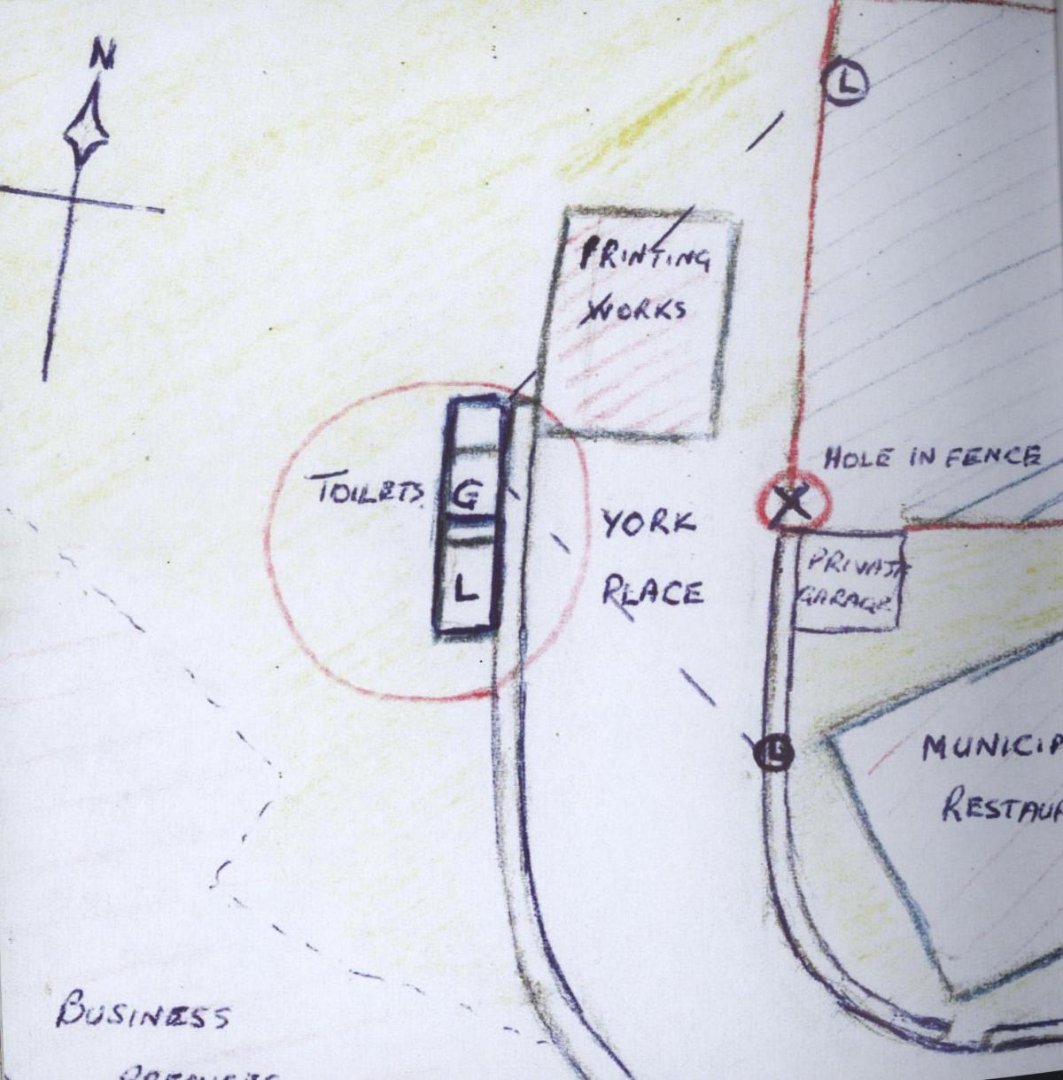
Until the Sexual Offences Act 1967 came into force homosexuals could find themselves on the wrong side of the law.
Mr MacCannell's book features an unusual sketch map of part of East Oxford, prepared as part of a police clampdown.
The author wrote: "The sketch map was prepared as part of a police crackdown on male homosexual 'importuning' in and around St Clement's Street car park.
"It is difficult to gauge how commonplace such maps were, but we are fortunate that this document from the latter days of coordinated official persecution happened to find its way into the National Archives at Kew."
Then, in 1972, there is evidence that the Soviets were taking the Cold War very seriously.
A Soviet map has been included clearly showing Park Town, Walton Manor and Norham Manor and colour-coding of University College as a specific target.
Mr MacCannell said: "Soviet mapping in anticipation of a street-by-street conquest of the United Kingdom would continue through the 1980s."
Oxford: Mapping the City by Daniel MacCannell is published by Birlinn Books, price £30.


Comments: Our rules
We want our comments to be a lively and valuable part of our community - a place where readers can debate and engage with the most important local issues. The ability to comment on our stories is a privilege, not a right, however, and that privilege may be withdrawn if it is abused or misused.
Please report any comments that break our rules.
Read the rules hereLast Updated:
Report this comment Cancel